' fill='none' stroke='%23304560' stroke-miterlimit='10' stroke-width='2'/%3e%3c/svg%3e)

Why Ignoring Spatial Trends in Field Trial Analyses Could Be Costing You?
VSNi Team
13 March 2024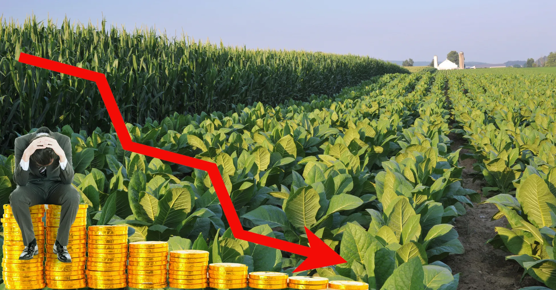
Field trials are the backbone of agricultural and forestry research, providing crucial data for evaluating new varieties, fertilizers, and management practices. But what if you're missing a crucial piece of the puzzle? Spatial variability, the inherent variation in growing conditions across your field, can significantly impact your results and lead to poor accuracy and/or misleading conclusions.
Why is Spatial Analysis important?
Imagine two plots side-by-side, one with good soil conditions and the other experiencing poorer drainage. Ignoring this spatial difference could lead you to believe that a new variety is performing poorly when in reality, it's simply the microsite that is impacting in its performance.
The Problem: Ignoring the Hidden Patterns
We know field sites are rarely uniform. Soil fertility, drainage, sunlight and other factors can vary subtly or drastically across the landscape, creating patterns that influence your responses. Traditional statistical analysis methods often treat each plot in isolation by assuming residuals are independent, failing to account for these spatial trends or correlations. This, in turn, can lead to:
- Overestimation of treatment effects: For example, if plots from a given treatment happen to be mostly placed in a naturally fertile areas, its apparent effectiveness might be inflated.
- Underestimation of treatment effects: Conversely, if a treatment’s plots are placed in less favourable locations, its true potential could be masked.
- Reduced overall precision: Failing to account for spatial dependence can lead to inflated error variance estimates, making it harder to detect real treatment effects.
- Reduced efficiency: Some resources are wasted on ineffective treatments, or poor replication, due to possible misleading results.
ASReml-R: Your Solution for Robust Field Trial Analyses
ASReml-R is a powerful statistical software specifically designed for analysing data, including field trials. One of the standout features of ASReml-R is its ability to handle large and complex datasets efficiently, making it ideal for analysing field trial data allowing for an array of spatial modelling options. It offers a range of features to effectively model and account for spatial variability:
- Trend modelling: You can capture large-scale spatial trends, such as soil fertility or humidity gradients, that can affect all plots.
- Correlated residuals: You can account for the dependence between nearby plots (spatial correlation), ensuring more accurate estimates of treatment effects as each data point is spatially adjusted.
- Flexible model selection: You can choose the most appropriate spatial variance structured based on your data and experimental design, including regular and irregular grids.
Embrace Spatial Analysis for Robust Field Trial Results
Proper modelling of spatial trends in your field trial analysis can lead to more reliable results and better use of your vegetative and monetary resources. By incorporating ASReml-R into your workflow, you can unlock the full potential of your data, gain deeper insights, and make more informed decisions that drive your agricultural efforts.
Spatial Analysis Consultancy
To help you get started with spatial analysis and maximise the benefits of our software, we offer a range of additional consultancy options tailored to your specific needs. Our expert consultancy services are here to help you every step of the way. Whether you need guidance on choosing the right approach, strategic planning for incorporating spatial analysis into your research, or focused power hours to tackle specific challenges, our team is here to support you. We can also assist with optimal experimental design and better tailored linear models to ensure your trials capture the necessary information and provide in-depth analysis of your data.

Popular


Related Reads